
County eRED Maps and Data
| Riverside County eRED Program County eRED Maps and Data Preparation of maps and analysis of renewable energy-related data, and making this information publicly available, are key goals of the County eRED project. As these maps are produced, they will be added under the sections indicated below. For documents related to the project, see the DOCUMENTS link on the main page (or click HERE). |
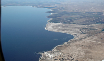 |
San Felipe Creek Delta, Salton Sea, California. |
Salton Sea Region Maps Tentative Boundaries of Salton Sea Renewable Energy Study Area – link Base Land Constraints Map of Salton Sea Study Area – link |
Map Source / Details Riverside County eRED Project, dated March 3, 2014 Riverside County eRED Project, dated September 24, 2014 |
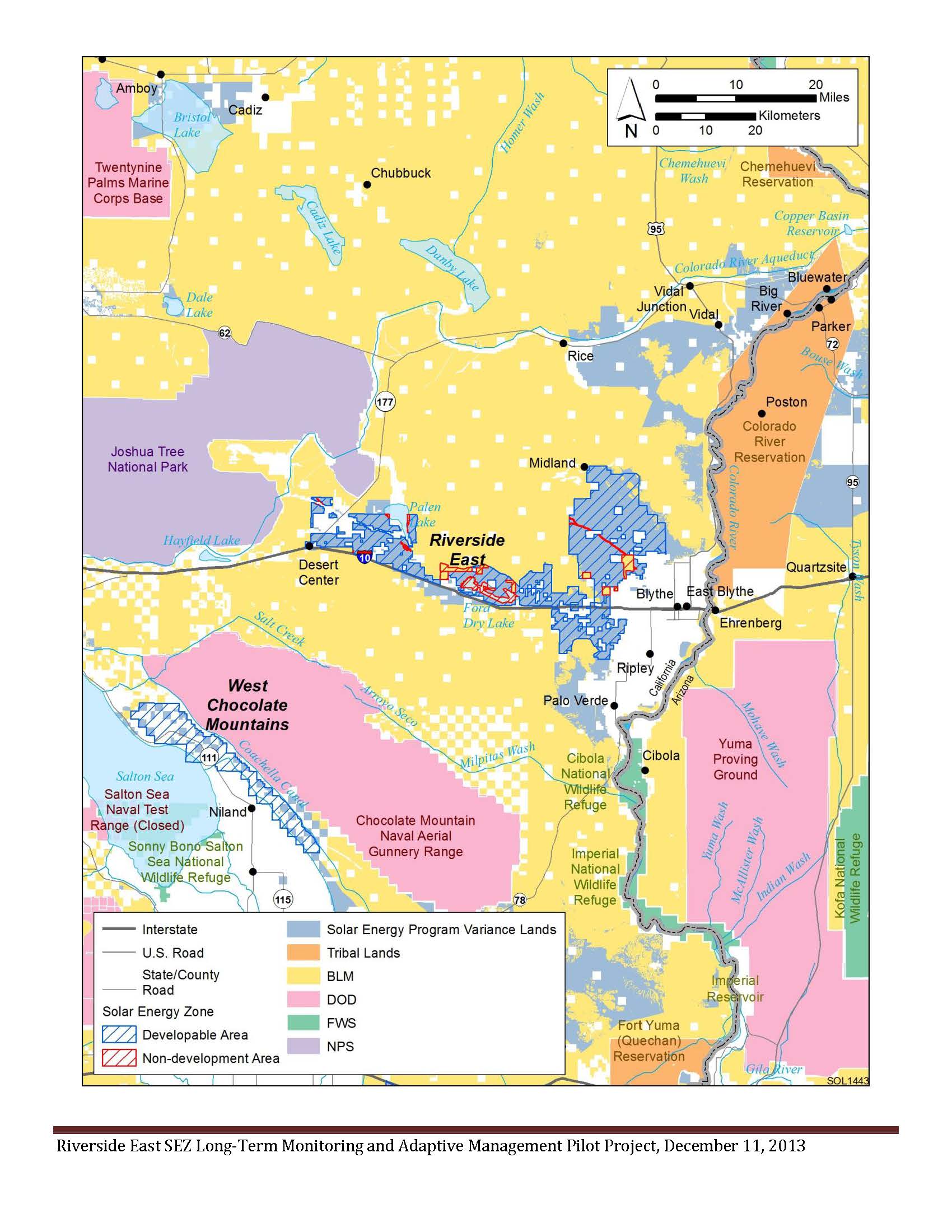
Eastern Desert Region Maps Overview Land Uses Map of Proposed DRECP – link BLM Riverside East SEZ (Solar Energy Zone) Land Uses – link |
Map Source / Details DRECP Executive Summary, Figure 1 & Table 1, dated October 2, 2014 BLM, Riverside East SEZ Long-Term Monitoring & Adaptive Management Pilot Project exhibit, dated December 11, 2013 |
Riverside County Maps Maps Major Electrical and Natural Gas Lines in Riverside County – link Renewable Energy (Generation Sites in Riverside County) – link |
Map Source / Details Riverside County General Plan, Figure C-10 (as proposed by GPA No. 960), dated December 16, 2013 Riverside County Draft EIR No. 521, Figure 4.10.2, dated December 16, 2013 |
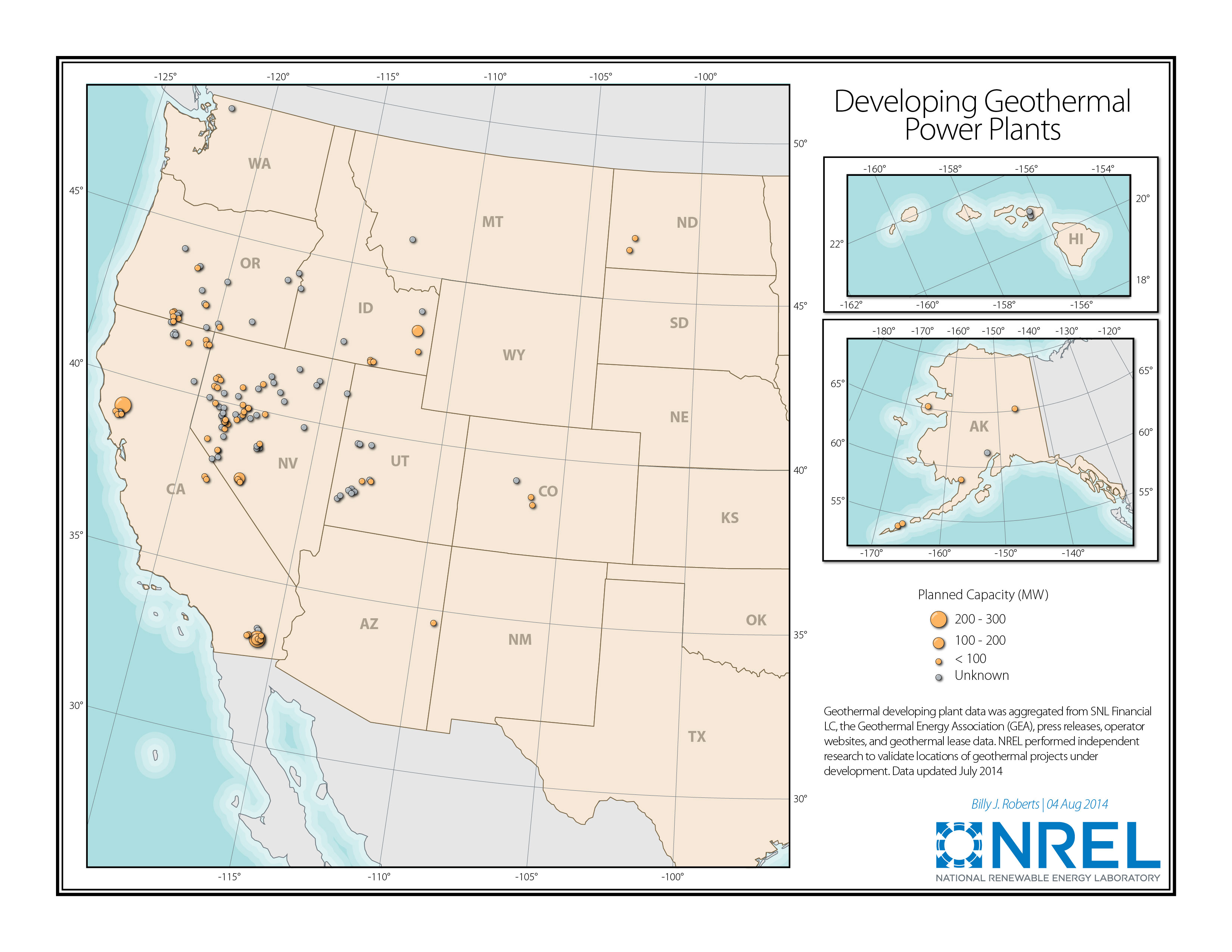
Miscellaneous Maps Maps US Geothermal Power Plants – link |
Map Source / Details U.S. Department of Energy, National Renew-able Energy Laboratory (NREL), Billy J. Roberts, dated August 4, 2014 |